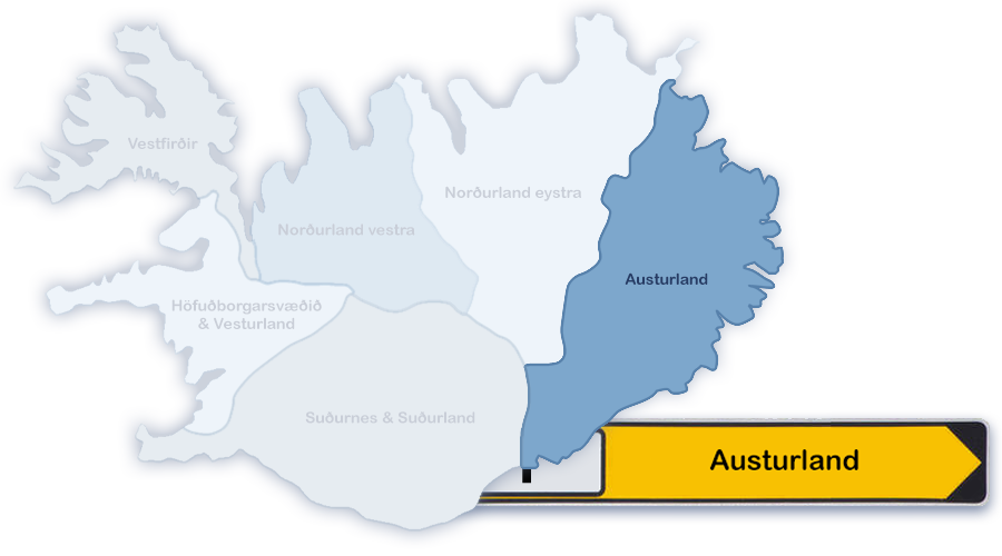


The eastern region of Iceland is called "Austurland" and often also named as "The Eastfjords".
Similar to the Westfjords, the coastline is shaped by fjords with steep mountainsides, too.
The largest town with it's 2.500 citizens (Jan. 2019) is Egilsstaðir. It is directly connected by a mountain road to Seyðisfjörður, where the only ferry connection to the european mainland is established (via Färöer to Hirtshals/Denmark).
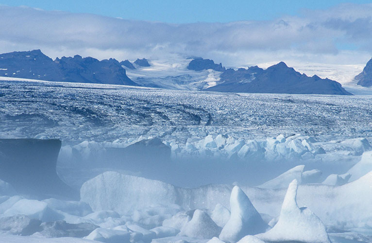
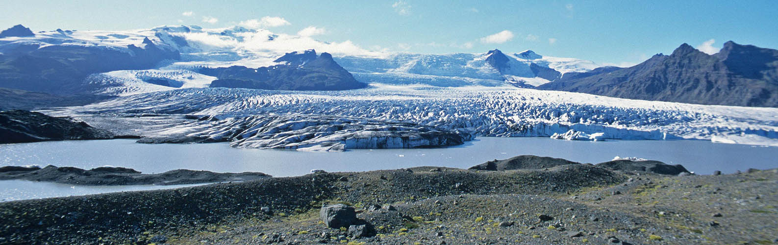
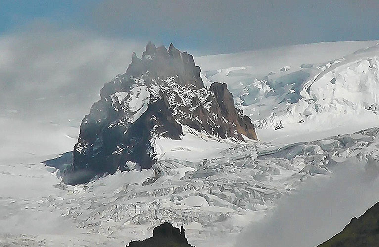
More than half of Europe's largest glacier Vatnajökull is on Austurland territory. The rest of it's area belongs to Norðurland eystra and Suðurland.
The total population number of the eastern region is approx. 12.900 (Jan. 2008).
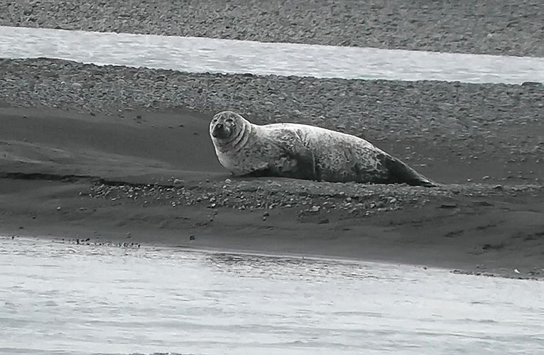
Seal near Húsey at Jökulsá á Dal
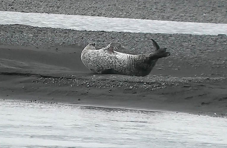
Original icelandic seal acrobatics
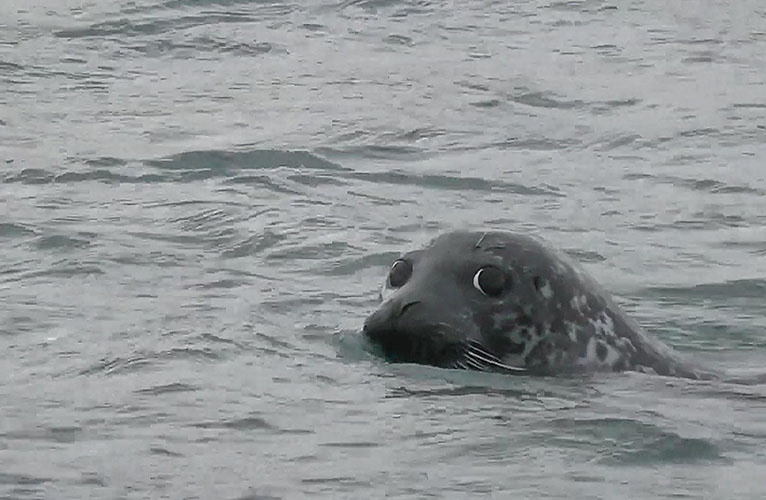
Seals are very curious. If you sit quietly on the shore, they may come very close
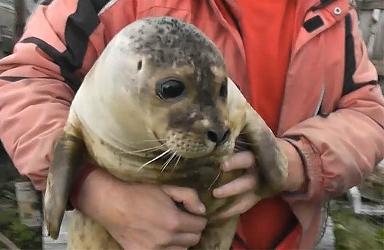
After growing up in Húsey a young seal is released into wilderness
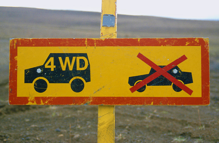
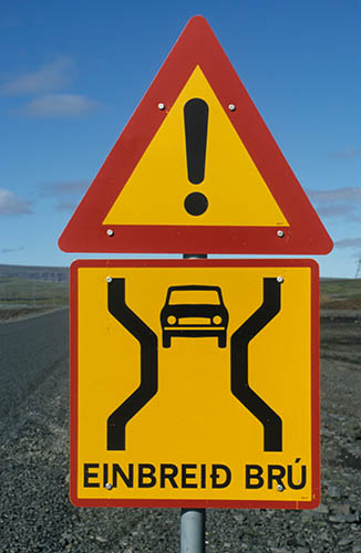
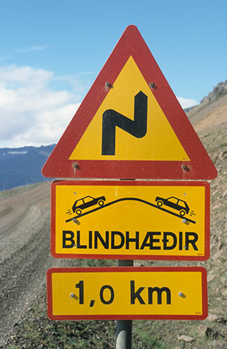
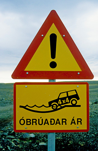
Self explaining icelandic traffic signs
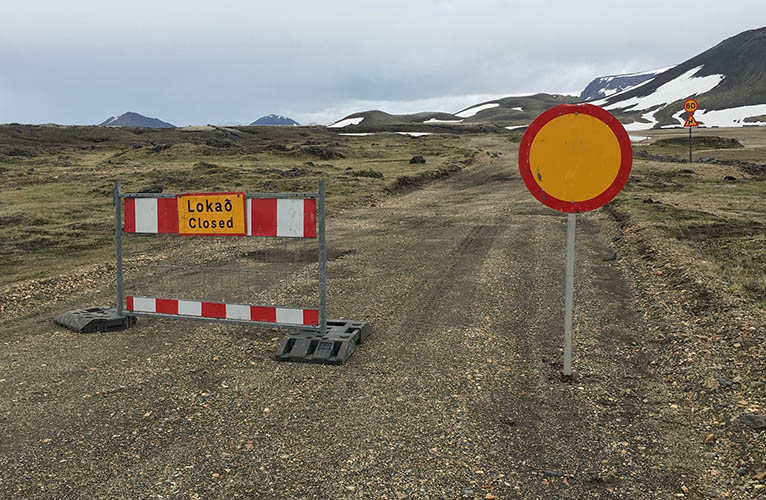
Highland closed due to Bárðarbunga earthquakes
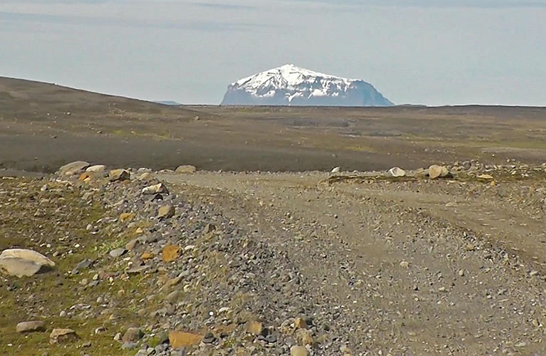
Herðubreið (1.682 m) seen from F905 (...I hope it really was F905)
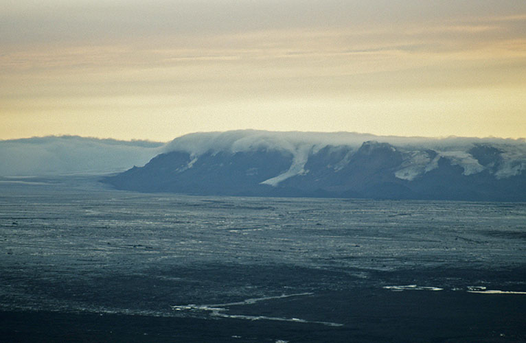
Vatnajökull seen from F902 (...or already F910)
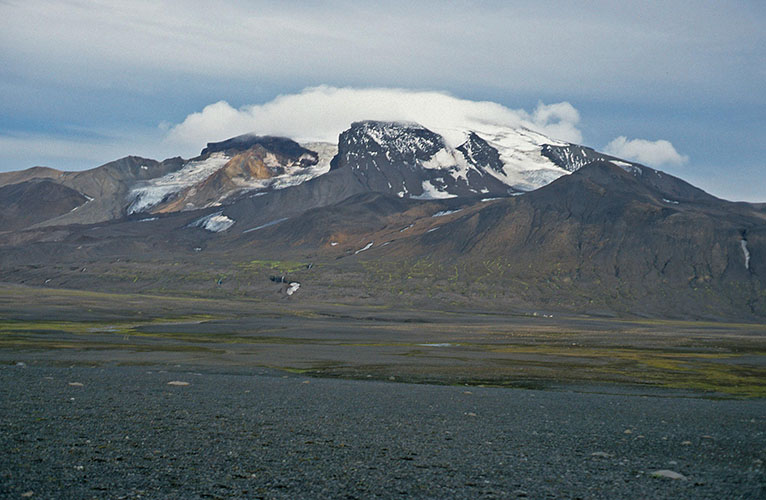
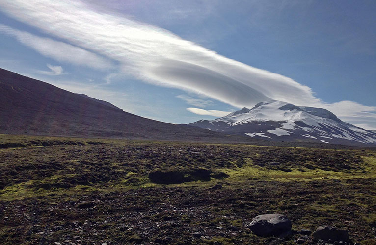
Snæfell (1.833 m)
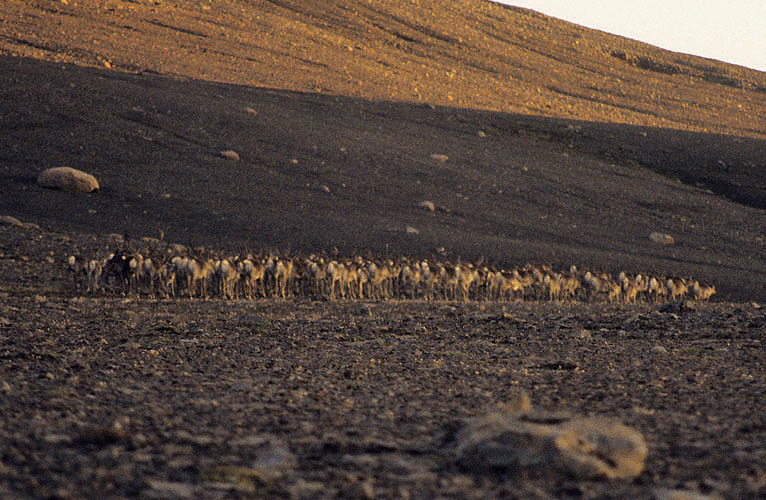
Reindeer herd near Snæfell
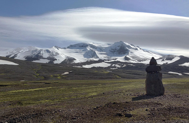
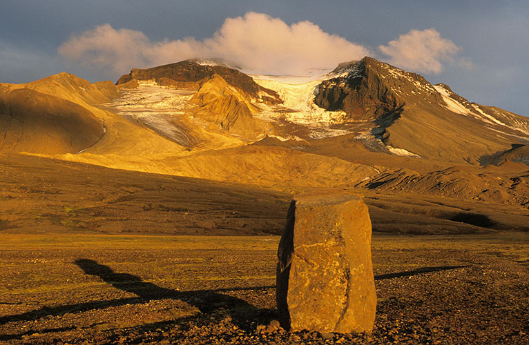
Cloud formation at Snæfell seen from F909 Snæfellsleið
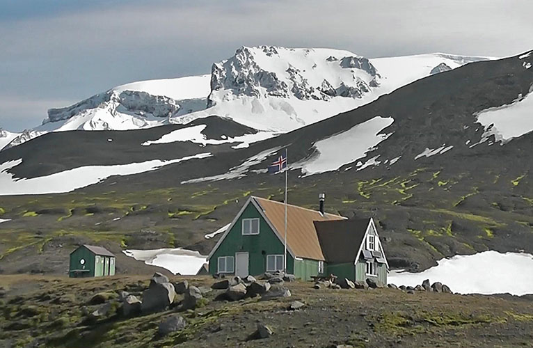
Snæfellsskáli Hut
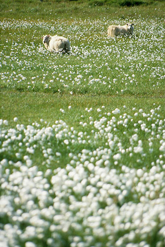
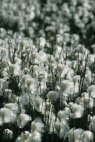
Cotton Grass
Höfn
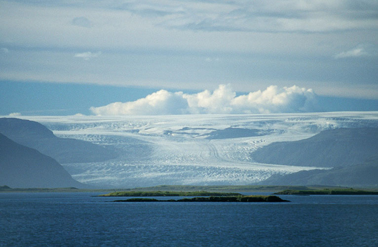
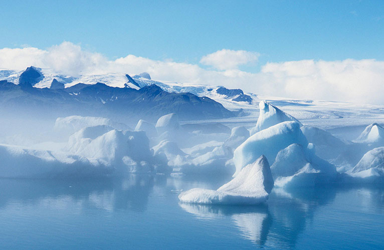
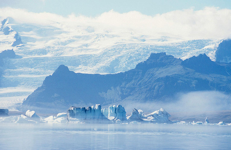
Breiðárlón / Vatnajökull
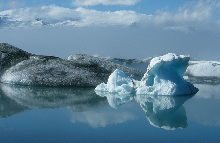
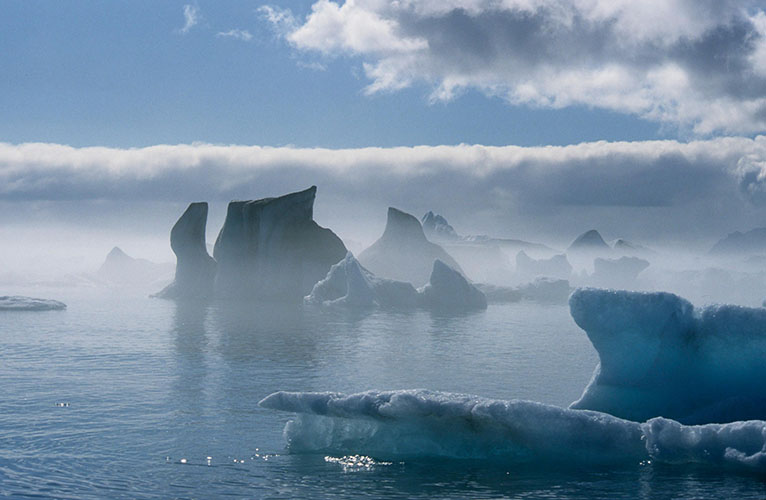
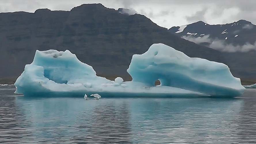
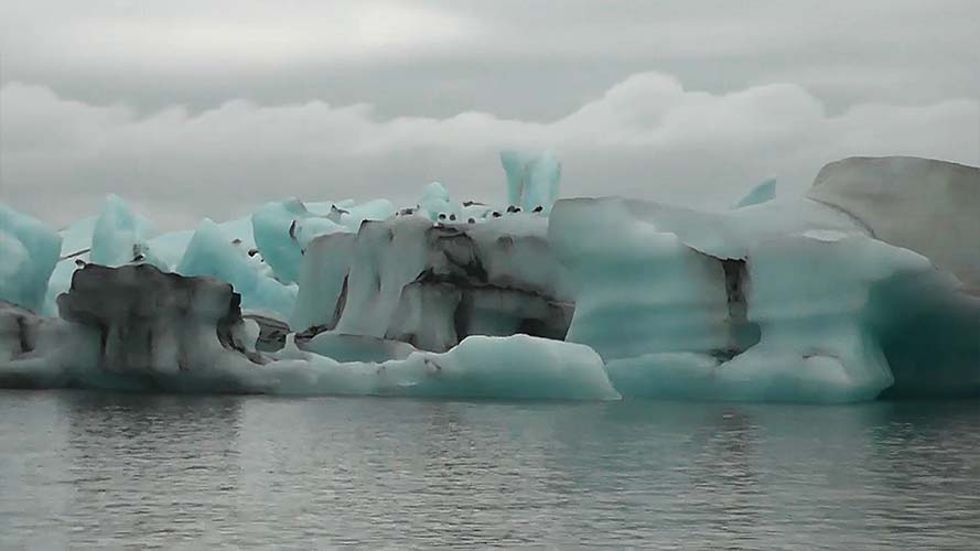
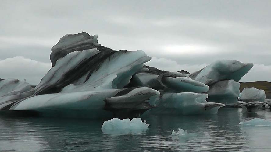
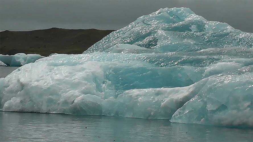
Jökulsárlón glacier lagoon
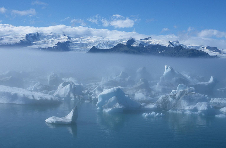
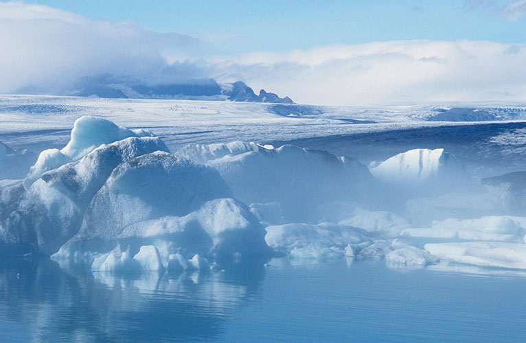
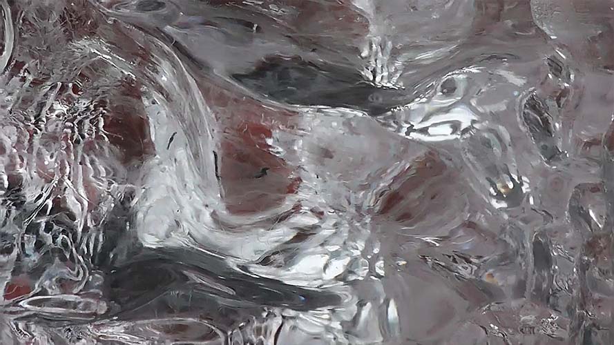
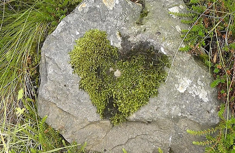
Impressions...
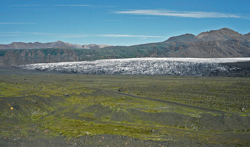
Skaftafell Glacier
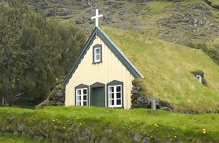
Hofskirkja (built in 1884)
Skaftafell / Vatnajökulsþjóðgarður
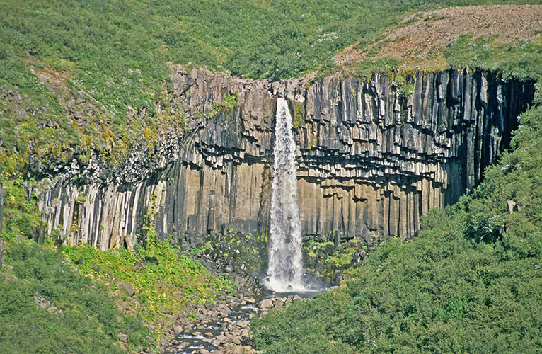
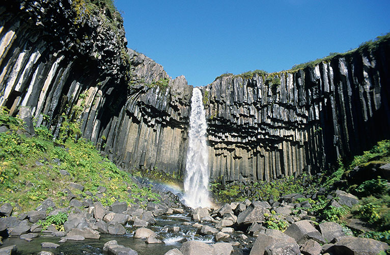
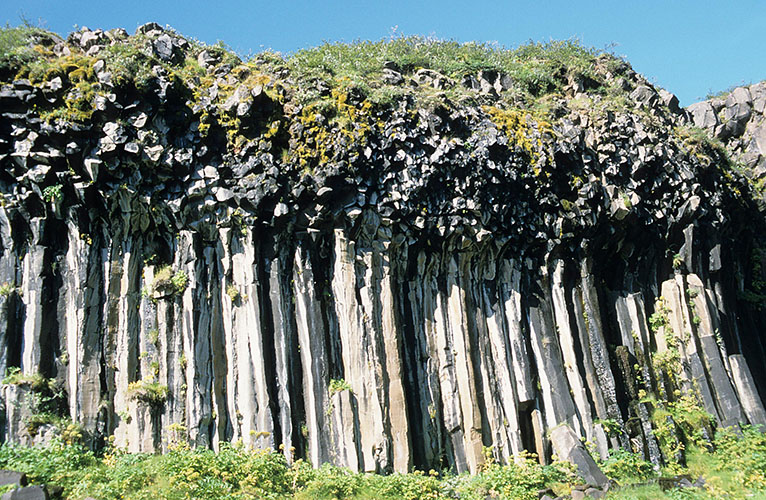
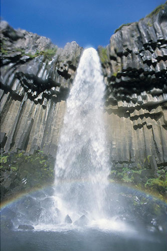
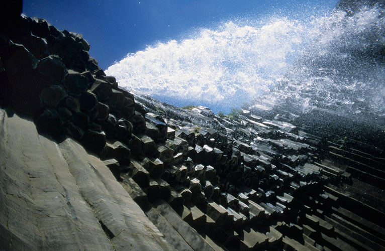
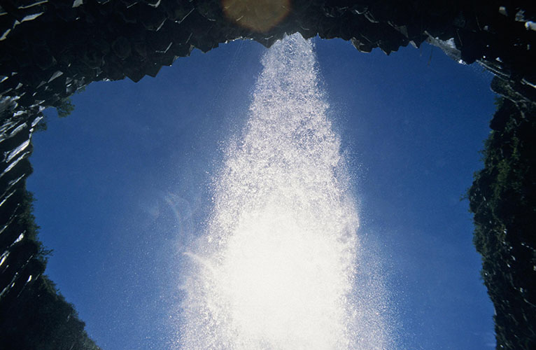
Svartifoss
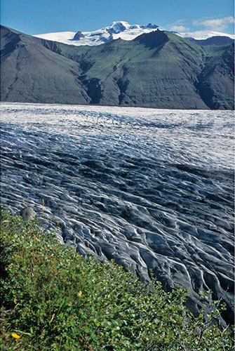
Skaftafell Glacier
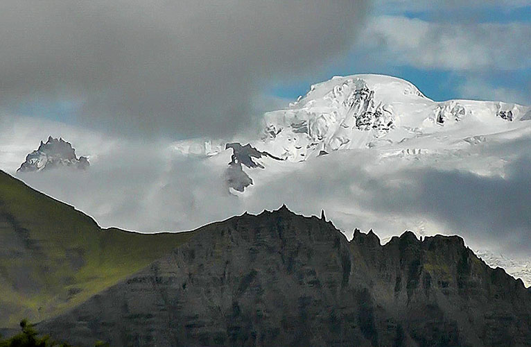
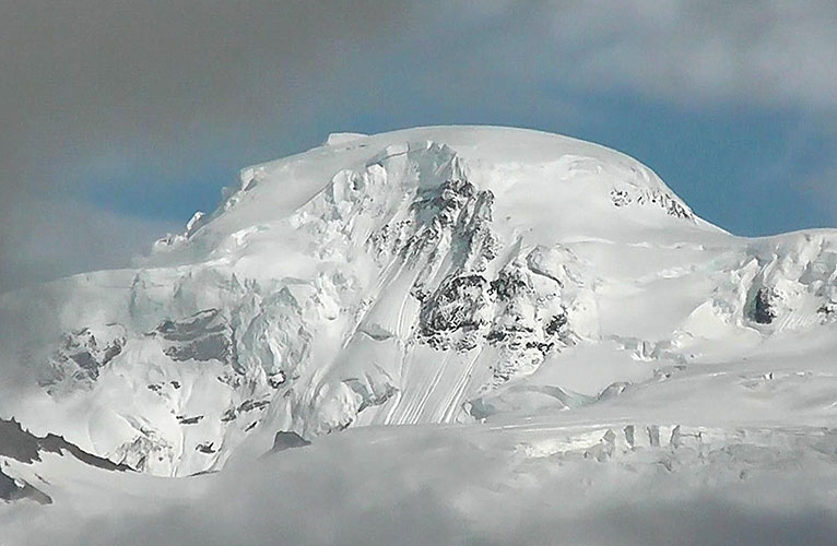
Hvannadalshnúkur (2.110 m) - Iceland's highest mountain
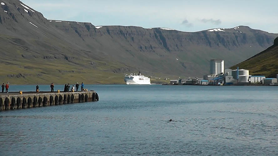
Seyðisfjörður / MS Norröna is slowly approaching
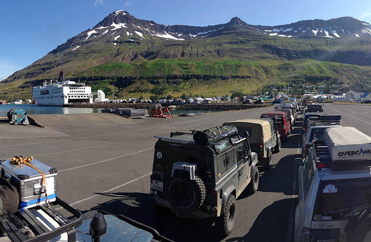
Seyðisfjörður Car Ferry Terminal / MS Norröna - Smyril Line
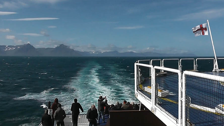
Leaving Iceland / Population 364.134 (2020)
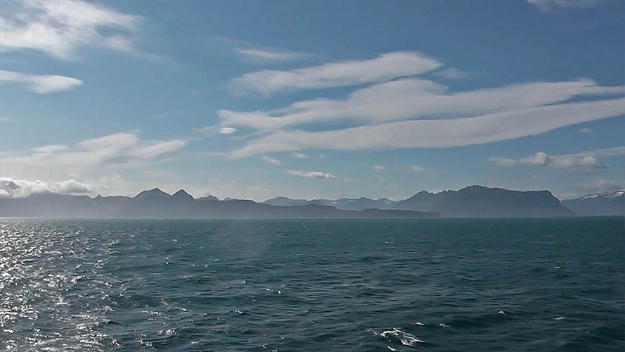
Passing the Faroe Islands on MS Norröna half way to Denmark
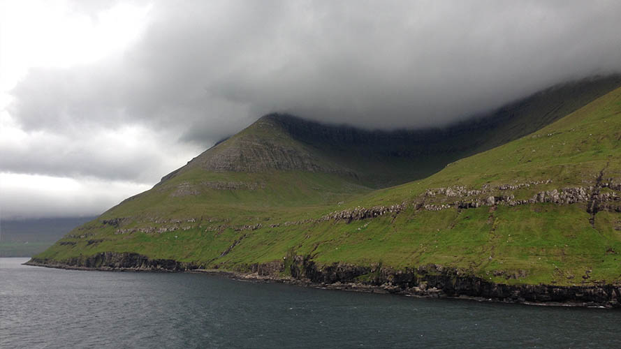
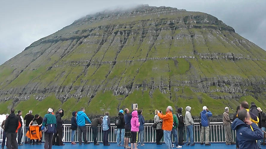
Färöer (Faroe Islands) / Population 48.497 (2018)
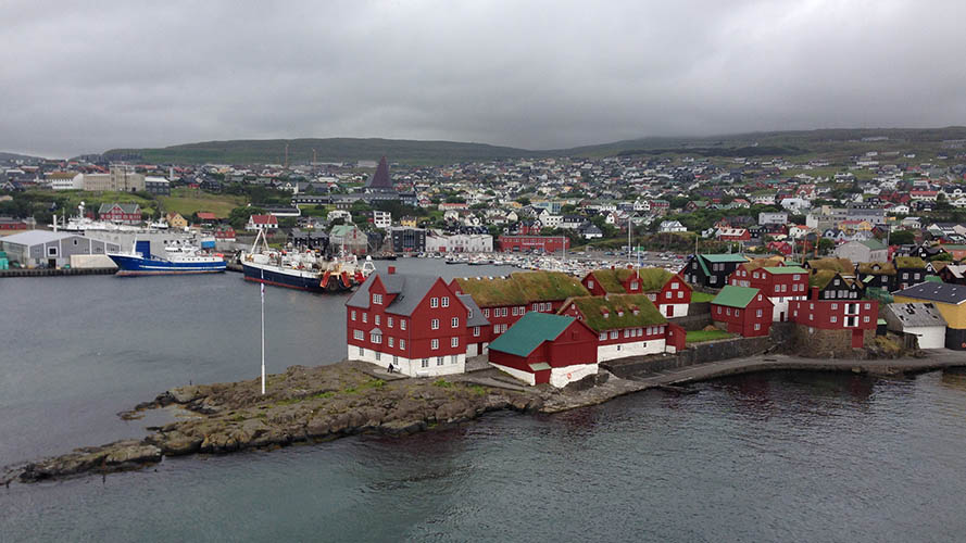
Tórshavn / Capital of the Faroe Islands / Population 13.083 (2017)
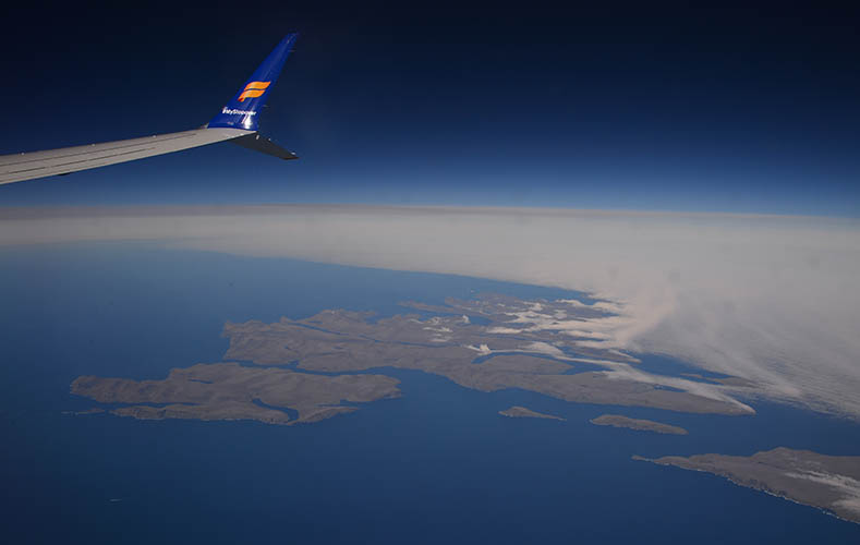
Flying past the southern parts of the Faroe Islands