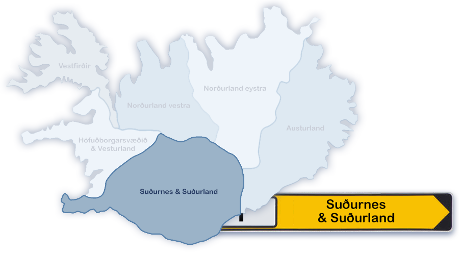


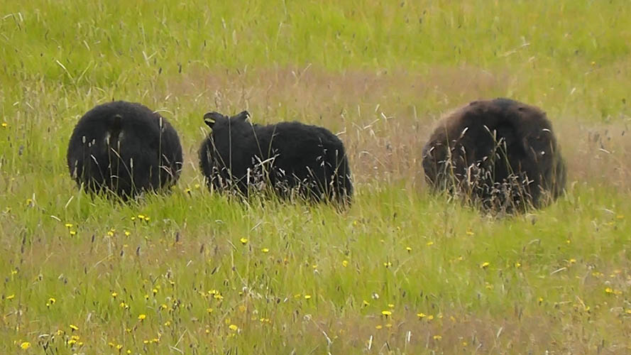
Small "Suðurnes" (Reykjanes Peninsula) and large "Suðurland" are often geographically connected to one region.
Next to the town of Keflavík, Iceland's international airport is located at the western end of the Reykjanes Peninsula. This airport with it's industry around, let Keflavik and the Reykjanesbær area grow to almost 16.000 inhabitants (Jan. 2020).
The over all population number of the Reykjanes Peninsula is approx. 27.800 (Jan. 2020).
Suðurland defines the southern part of Iceland with it's largest town Selfoss (Population approx. 6.000). Also a part of the southern district are the "Vestmannaeyjar" (Westman Islands - Population approx. 4.300 - Jan. 2019).
Together with the capital region, Suðurland is the most frequented tourist destination in Iceland.
The entire southern district counts about 28.400 inhabitants (Jan. 2020).
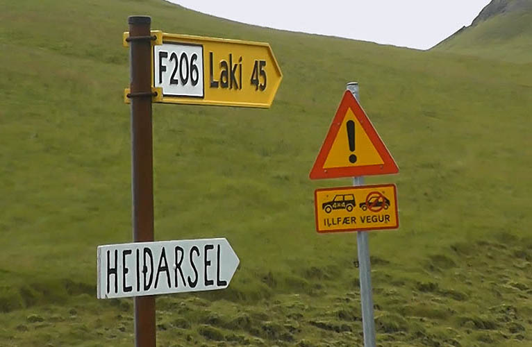
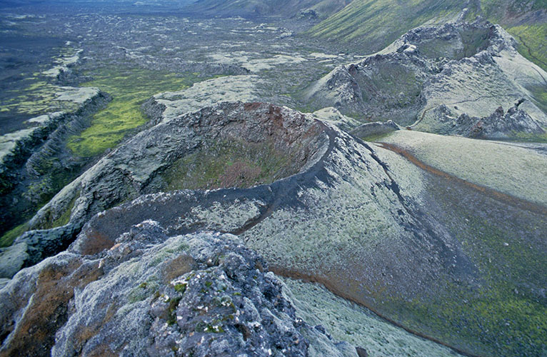
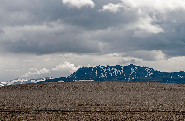
Lakagígar / Laki (818 m) - fissure volcano (last eruption 1783-1784)
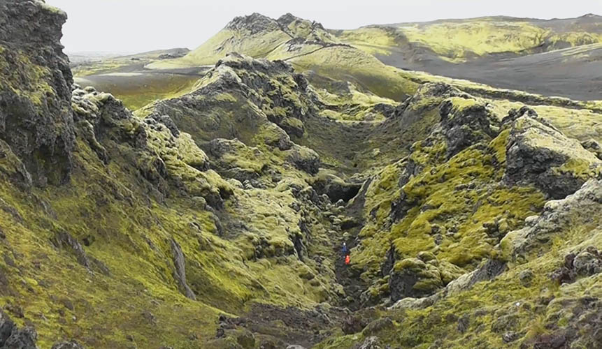
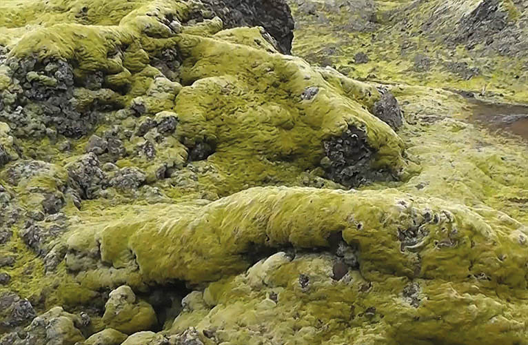
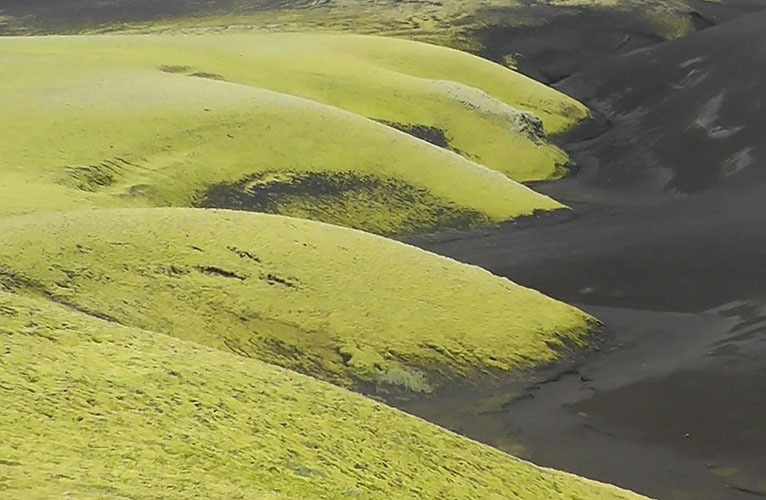
Solidified lava with fragile moss growth
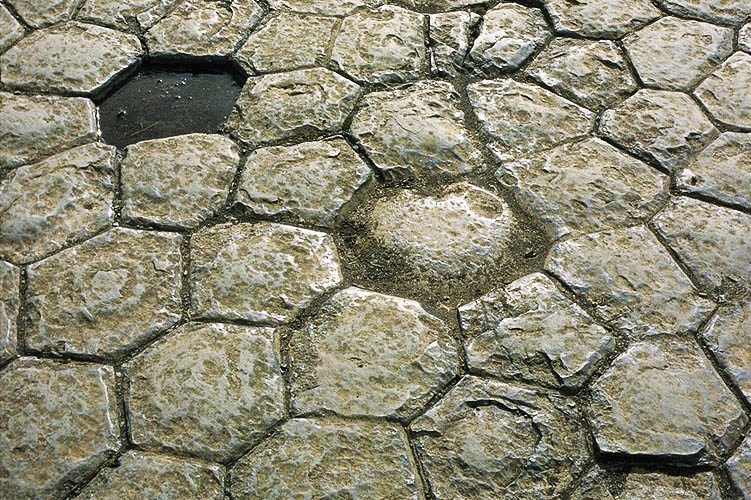
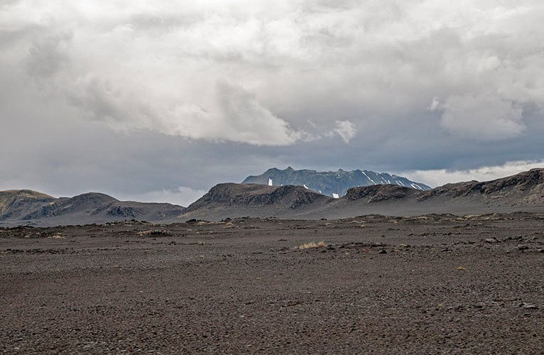
Kirkjubæjarklaustur / Kirkjugólfið (Church Floor) - natural basalt formation
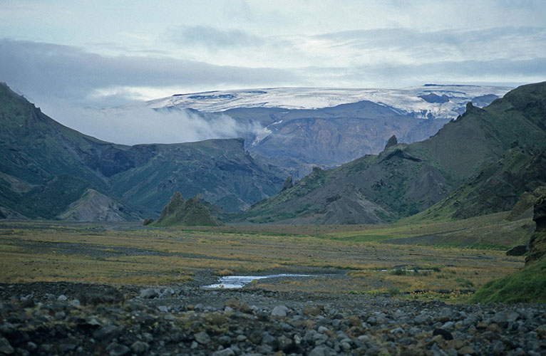
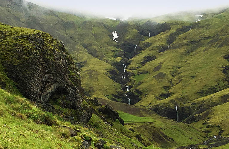
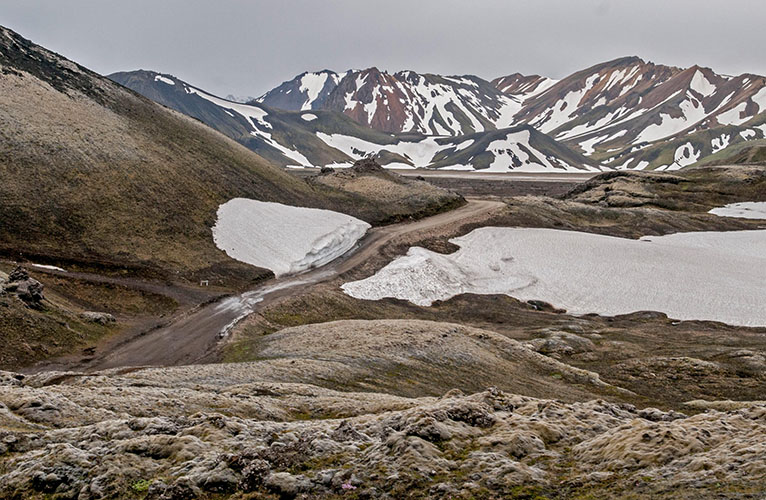
Þórsmörk
The river Krossá rises at Krossárjökull, passes Þórsmörk and ends in the sea at Markarfljót
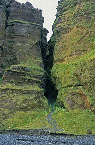
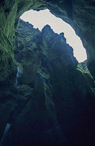
Stakkholtsgjá
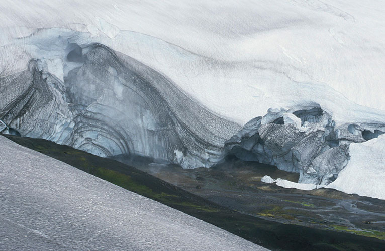
Hrafntinnusker (1.141 m)
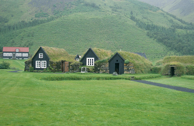
Byggðasafnið í Skógum / Skógasafn (Skogar Museum)
Eyjafjallajökull (1.666 m)
PLEASE PRESS PLAY-BUTTON

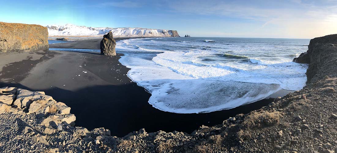
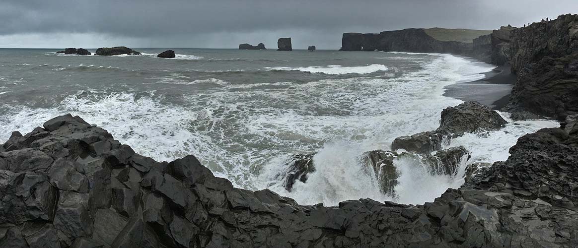
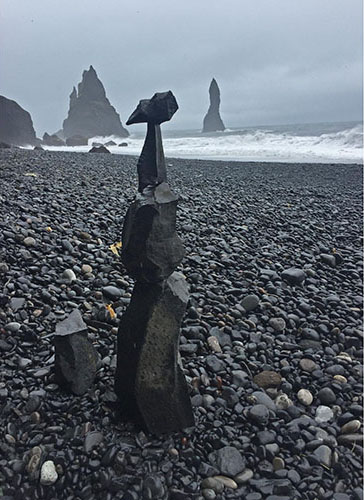
Reynisfjara seen from Dyrhólaey
View in summer
View in winter
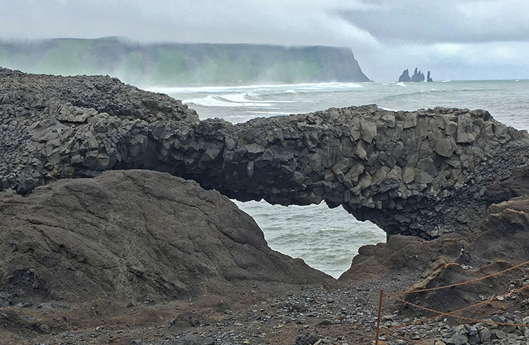
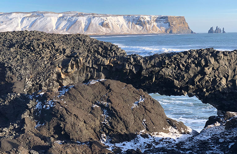
Dyrhólaey
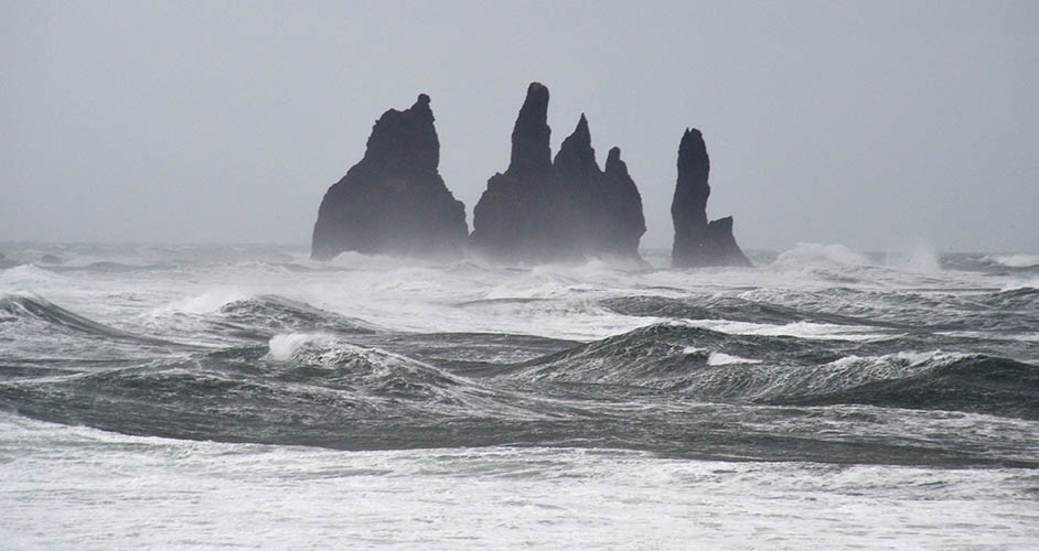
Reynisdrangar seen from Dyrhólaey
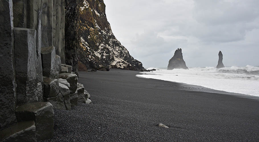
Hálsanefshellir with Reynisdrangar
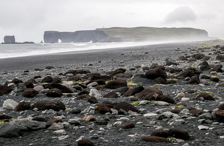
Dyrhólaey seen from Reynisfjara - View in summer
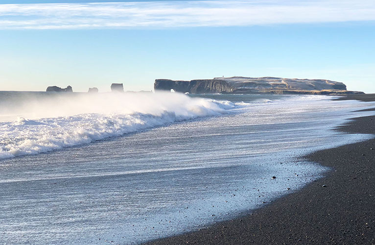
View in winter
Drangurinn in Drangshlíð - Old cowshed in front of tuff rock with caves below Eyjafjöll mountains
According to legend, elves live in the rock and protect calves at birth while the farmer must stay away
PLEASE PRESS PLAY-BUTTON
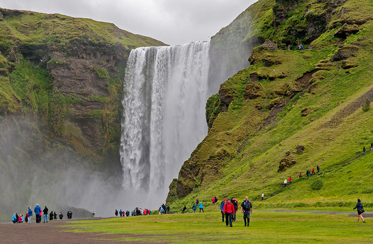
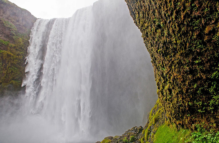
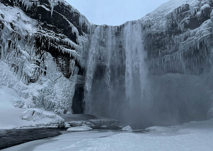
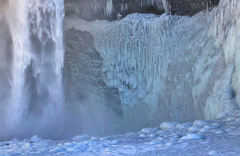
Skógafoss
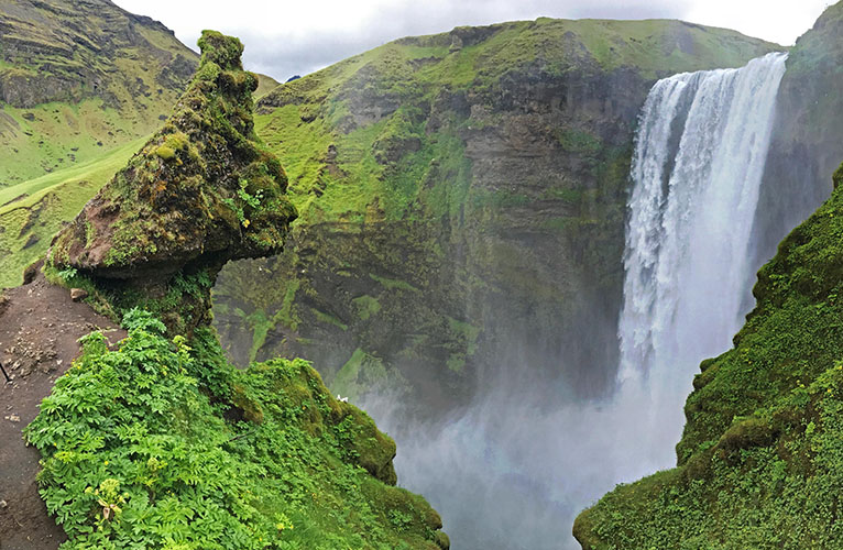
The waterfall is 25 meters wide and it's drop height is 60 meters
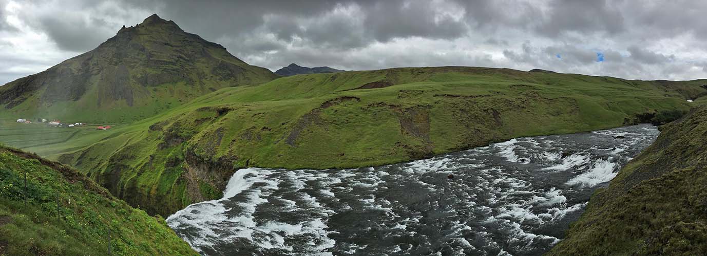
Skógafoss - upper river
View in summer
View in a mild winter without strong storms (2019)
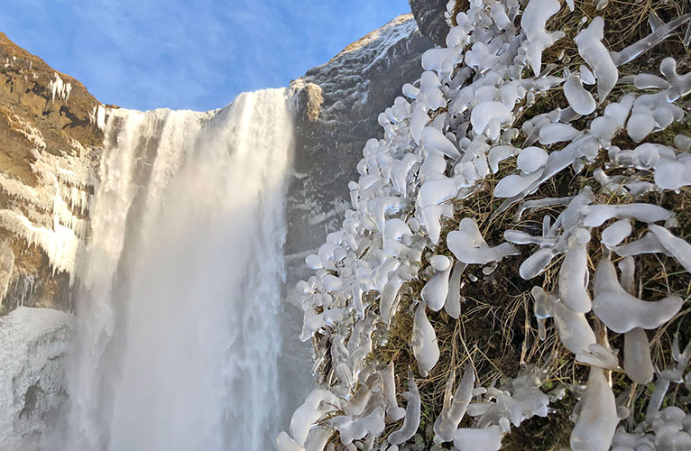
View in a snowy winter with heavy sandstorms (2022)
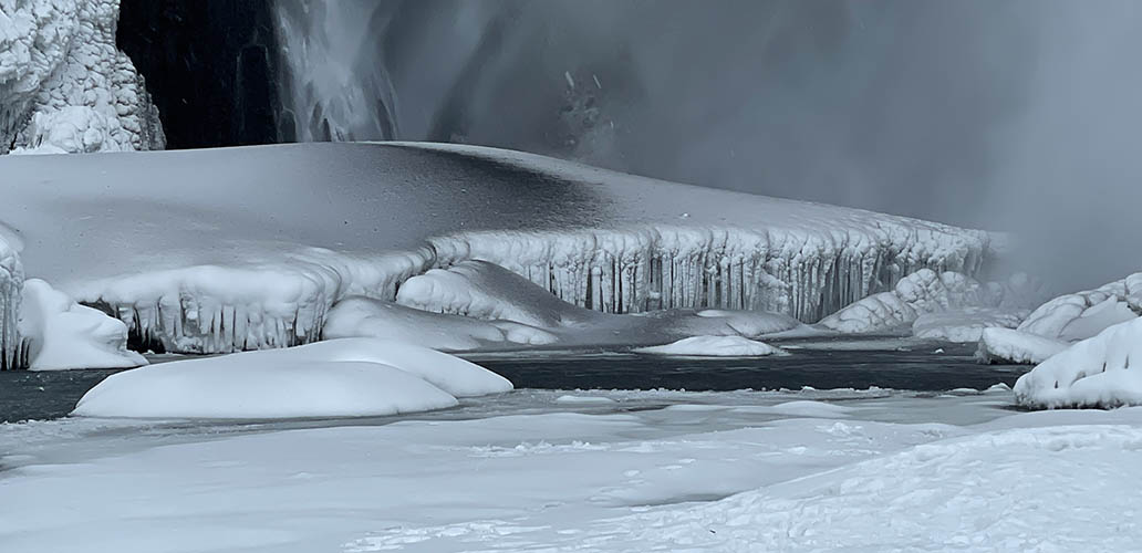
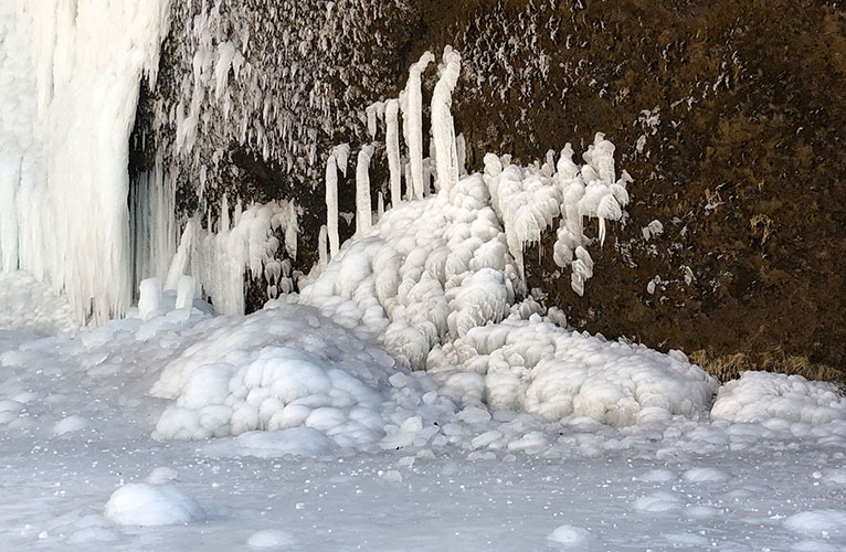
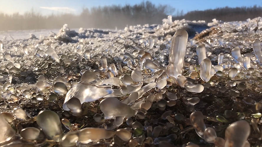
Ice with black sand on it's surface at Skógafoss
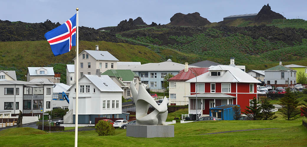
Vestmannaeyjar / Population 4.301 (2019)
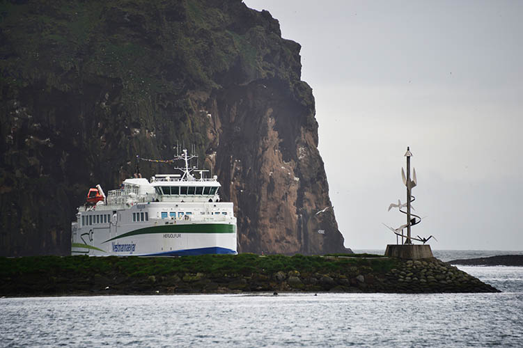
Electric powered Vestmannaeyjar Ferry "Herjólfur IV" approaching Heimaey
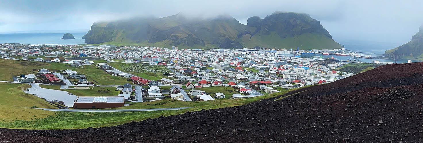
Town of Heimaey - View from volcano Eldfell (last eruption 1973)
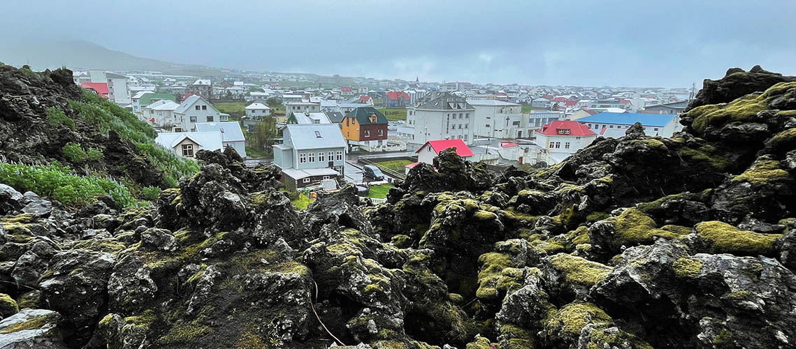
Heimaey with 1973 lava field in the foreground
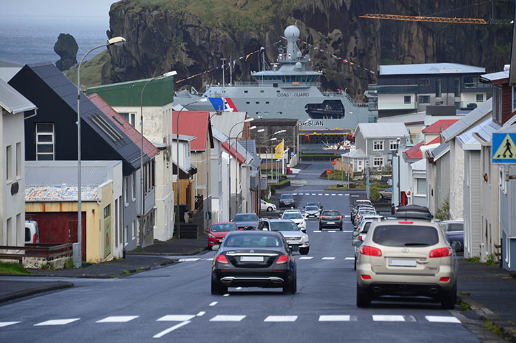
Skólavegur
Houses with 1973 lava field in the background
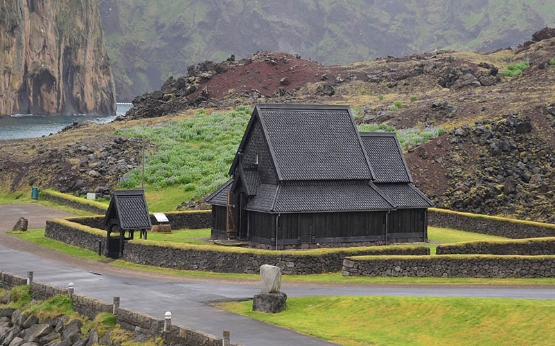
Stafkirkjan
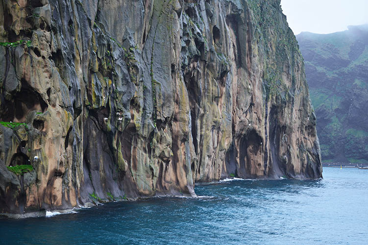
Rocks at Heimaey port exit
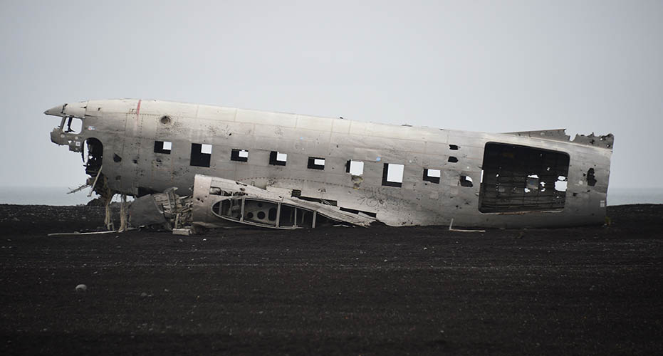
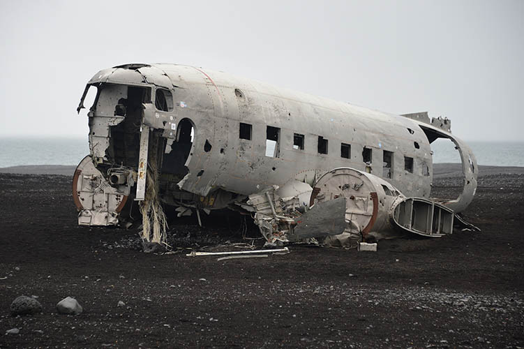
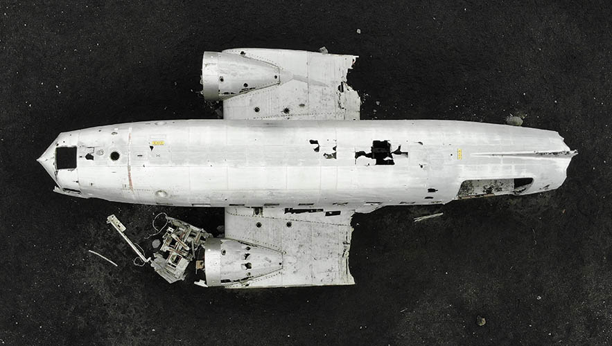
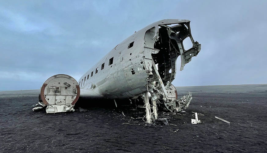
Plane Wreck at Sólheimasandur - The Plane crashed there in 1973 and was never removed.
PLEASE PRESS PLAY-BUTTON
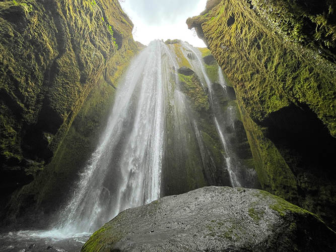
Gljúfrabúi next to Seljalandsfoss
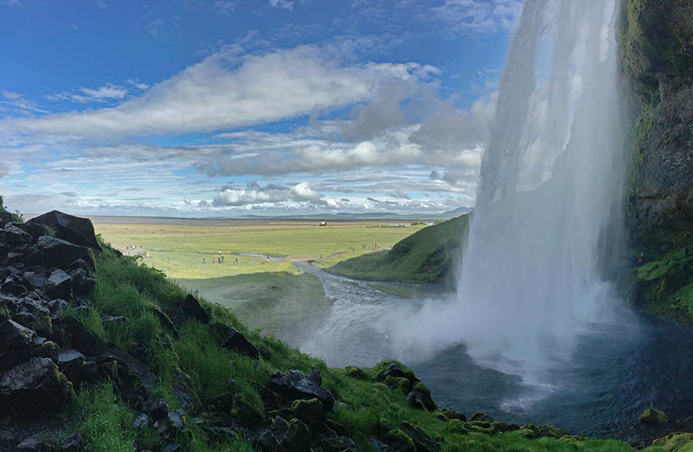
Seljalandsfoss - drop height 66 meters
Ice at Seljalandsfoss

Seljavallalaug (built in 1923)
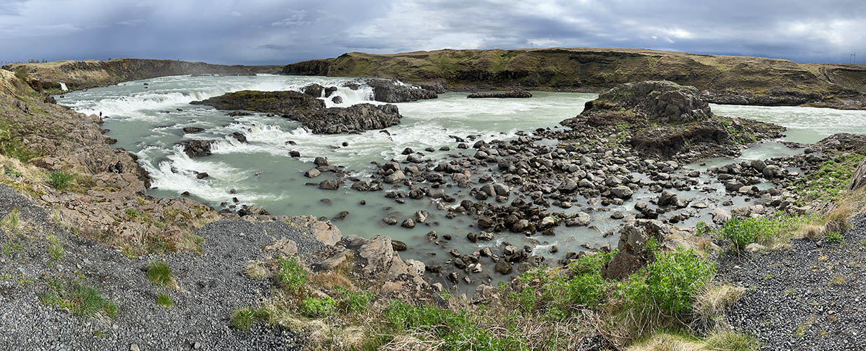
Urriðafoss - Iceland's most voluminous waterfall (at very low water level)
Leirvogsvatn / Mosfellsheiði
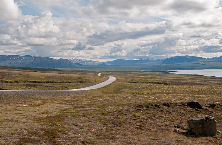
Þingvallavegur
Parking lot at Þingvallavegur
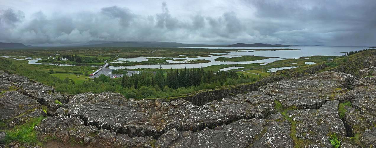
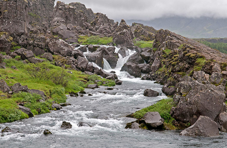
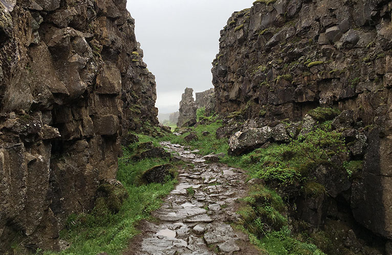
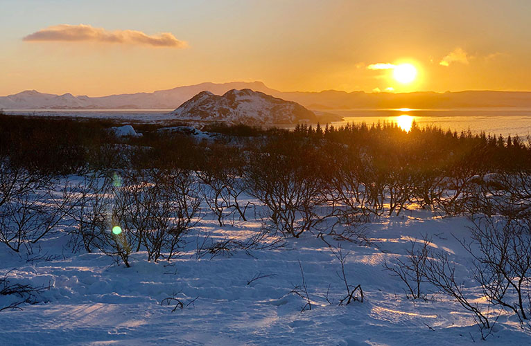
Þingvellir National Park
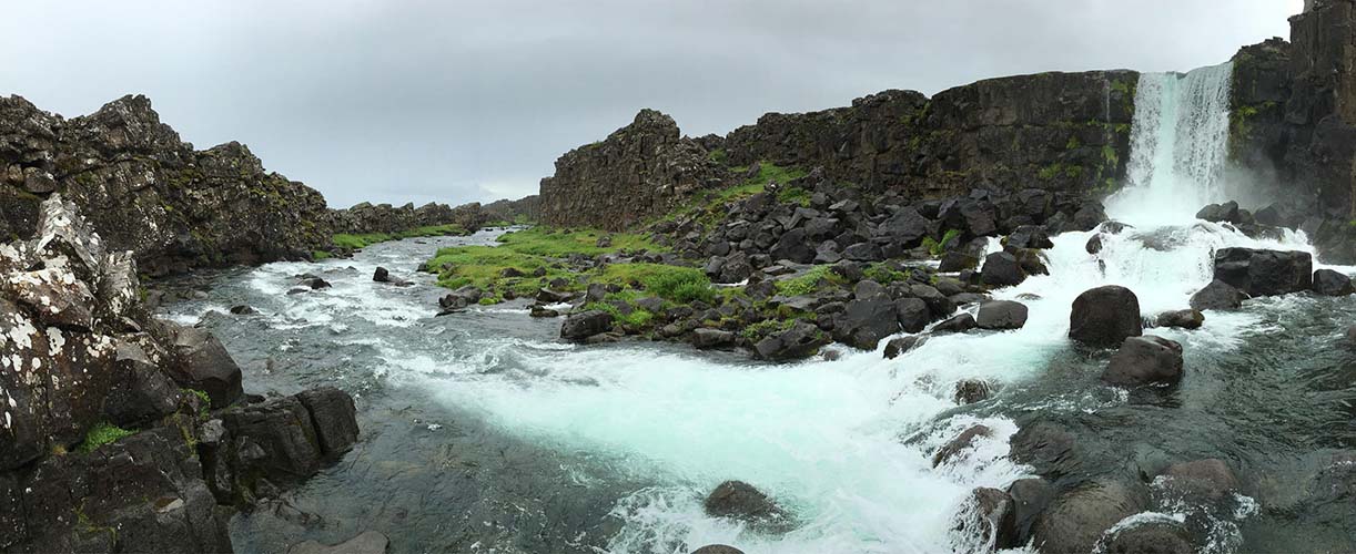
Þingvellir / Almannagjá / Öxarárfoss
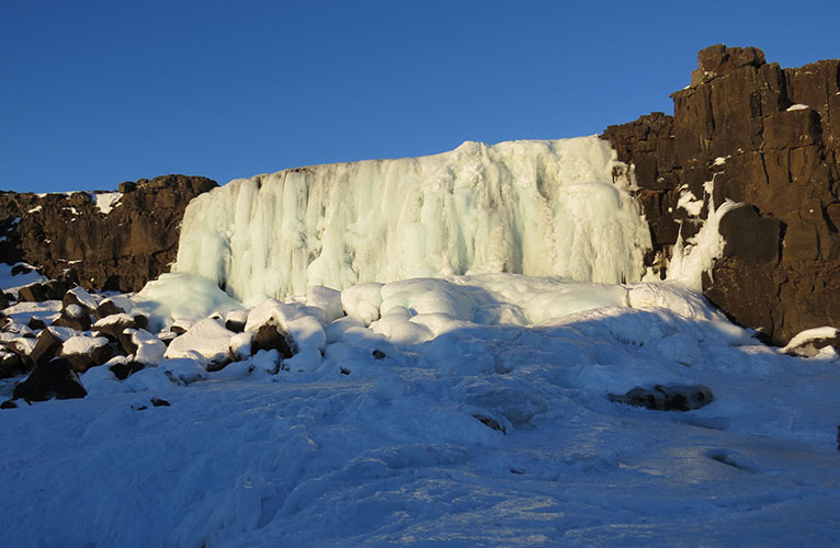
Öxarárfoss
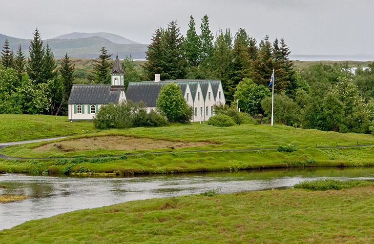
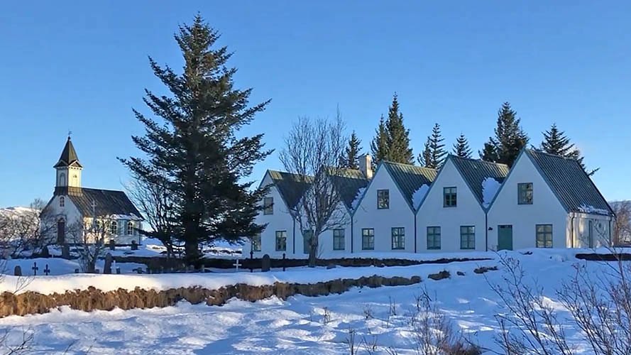
Þingvallakirkja (built in 1859)
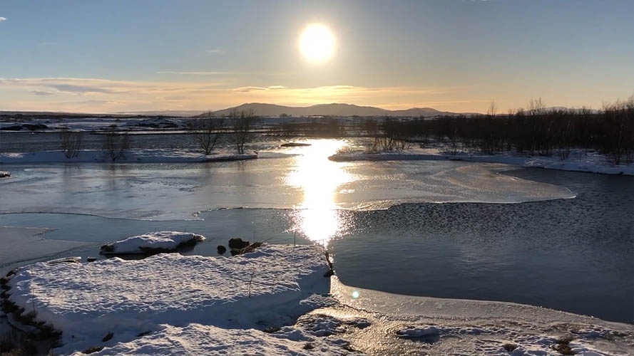
Þingvallavatn
Þingvallavatn seen from eastern Þingvallavegur
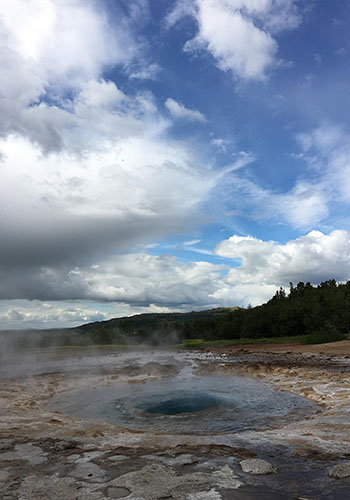
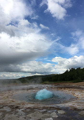
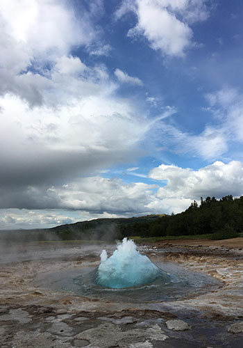
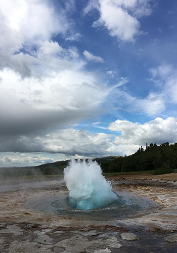
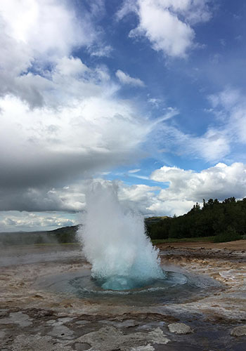
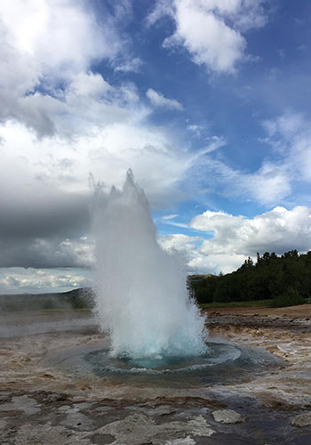
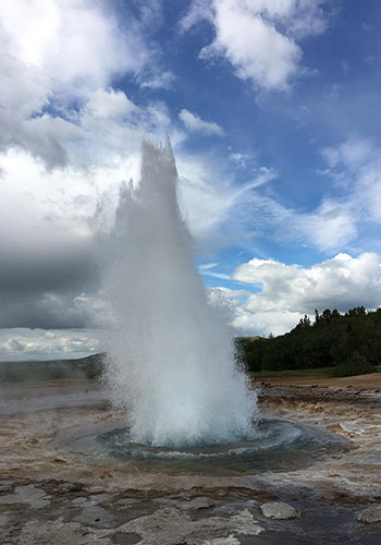
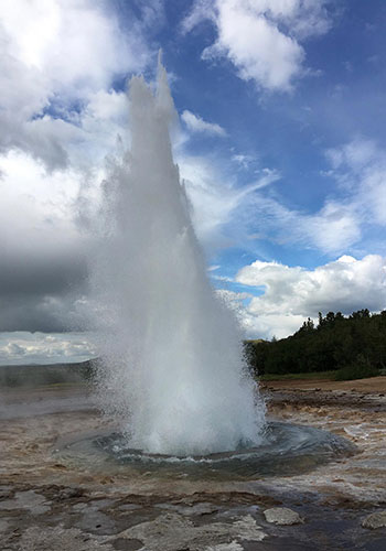
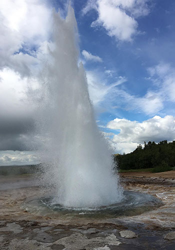
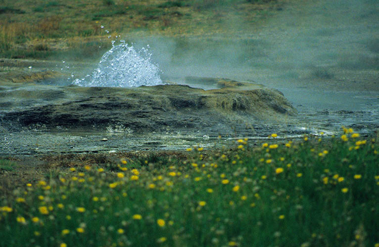
Geysir / Strokkur
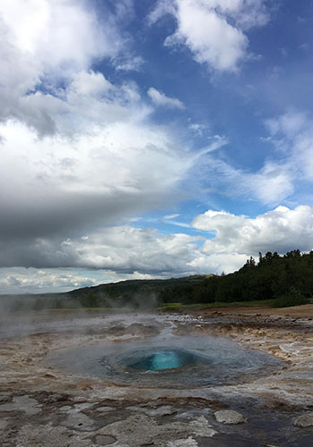

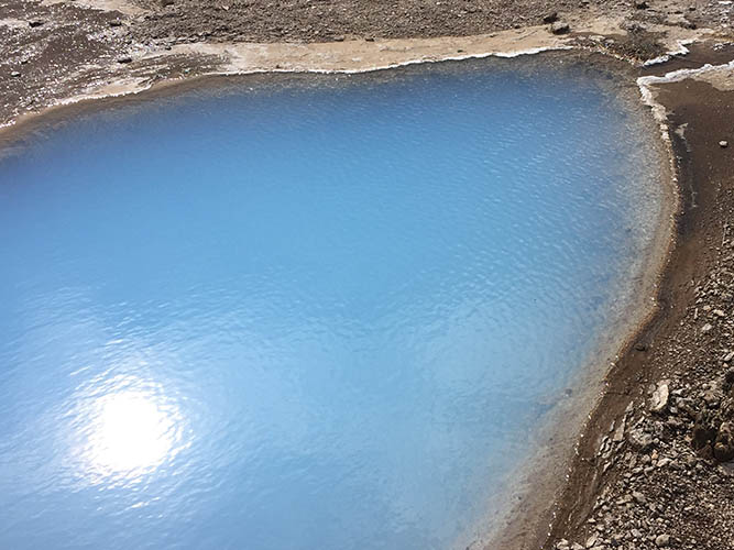
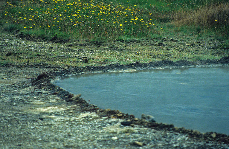
Surface around Geysir
Frozen grass near Strokkur
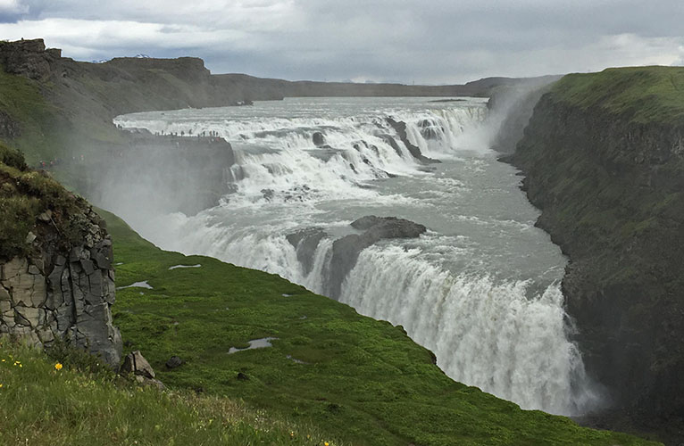
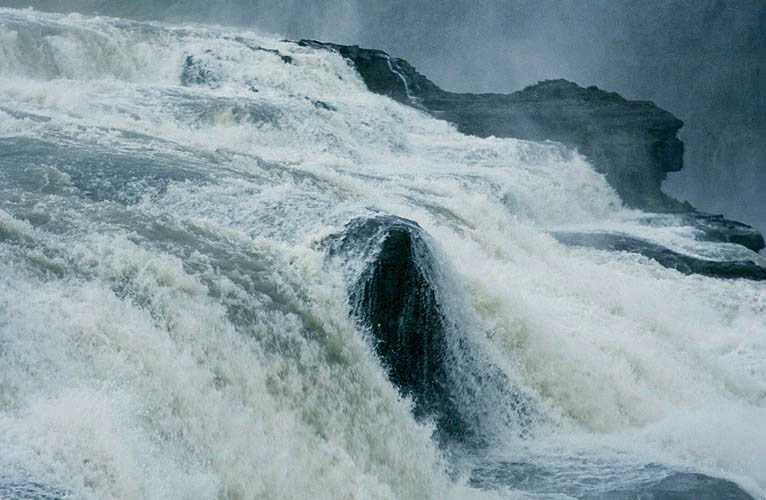
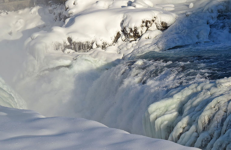
Gullfoss at Hvítá river in Haukadalur
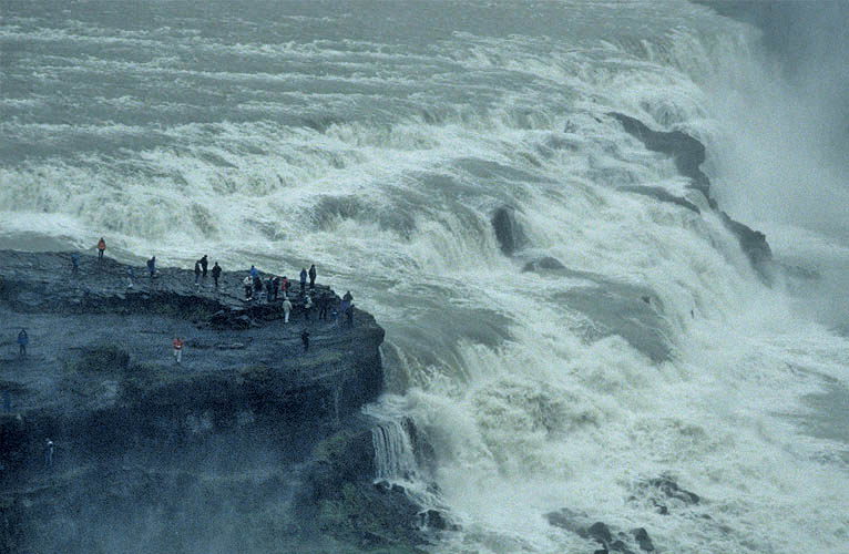
Sigríður Tómasdóttir from Brattholt farm...
...could prevent the built of a hydroelectric power station in 1920 at Gullfoss
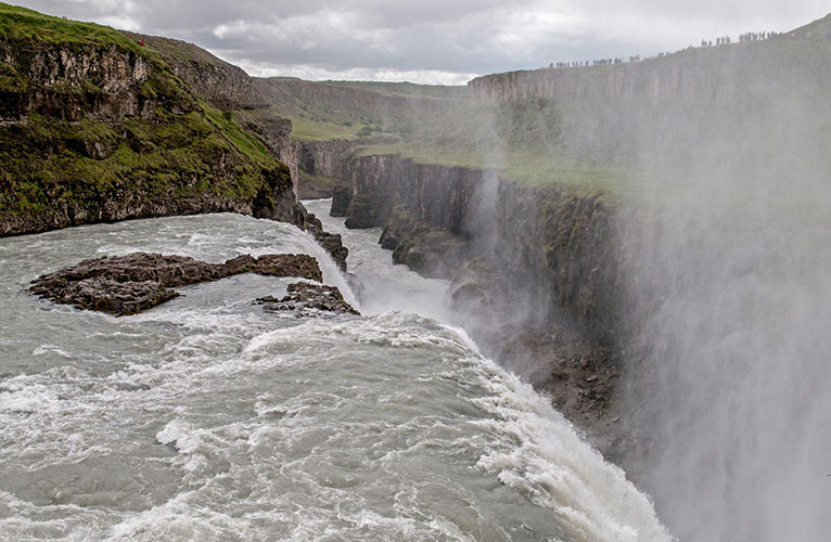
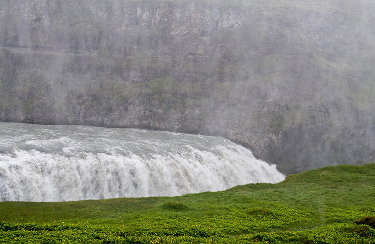
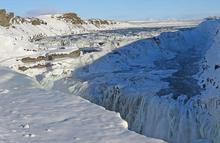
The waterfall's drop height is 32 meters over two stages
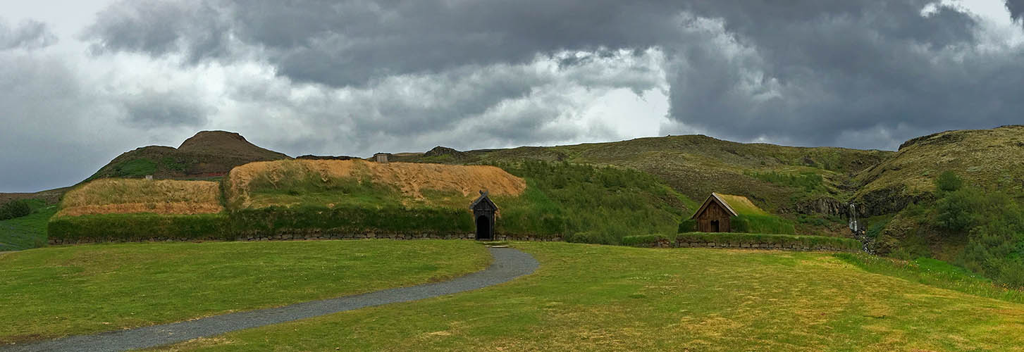
Þjóðveldisbær - reconstructed farm based on the excavated farmhouse Stöng
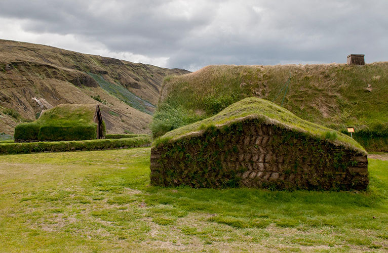
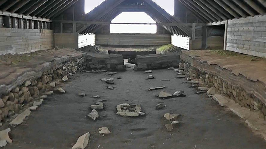
Stöng - excavated farm probably destroyed during Hekla eruption in 1104
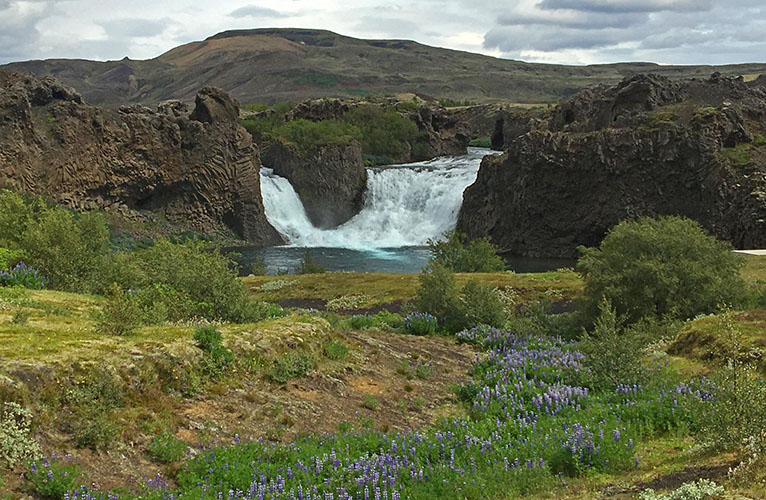
Hjálparfoss
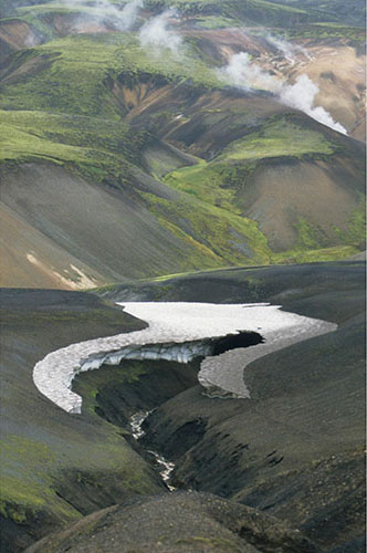
Along Landmannaleið and F208
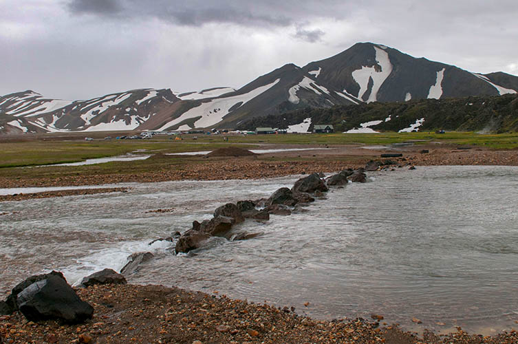
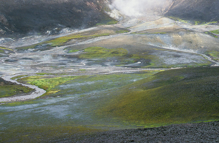
Approaching Landmannalaugar
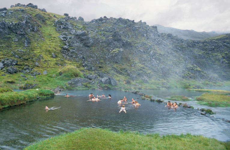
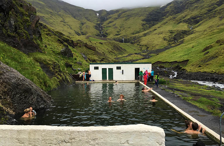
Landmannalaugar natural bath
Water temperature varies between 27° and 43°C (...but comes out of the hill with 75°C!)
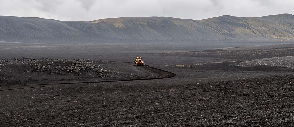
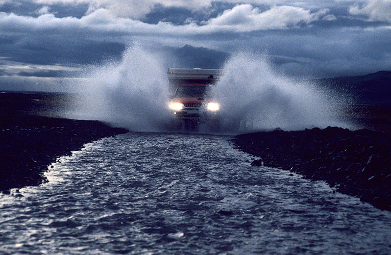
F-Road maintenance
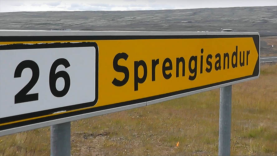
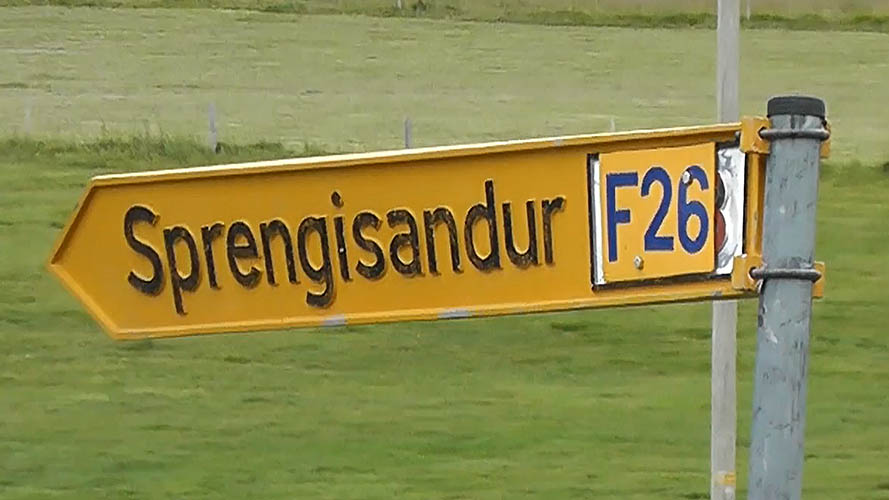
Sprengisandsleið F26 (starts near Hrauneyjar / Suðurland)
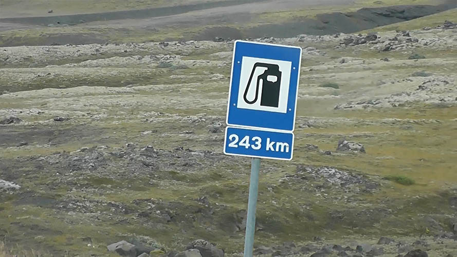
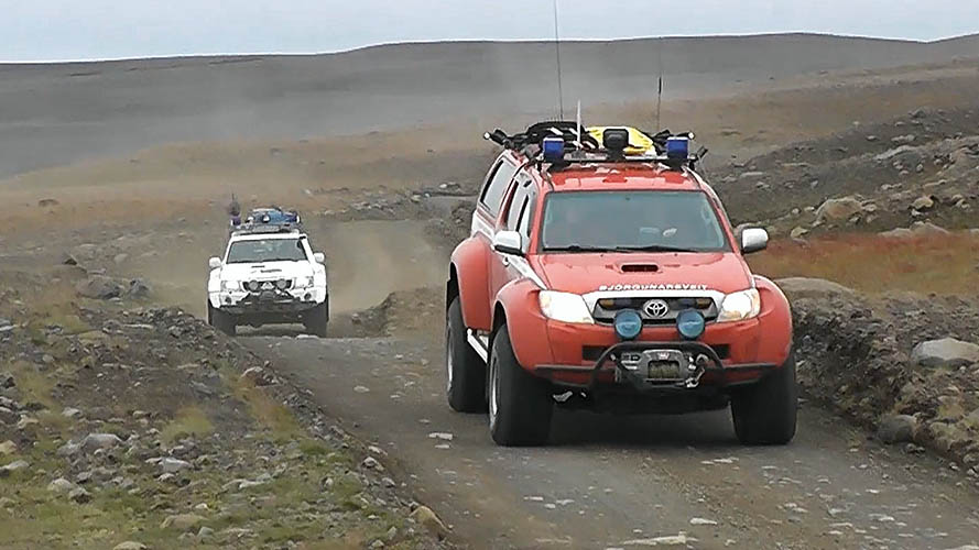
Crossing Sprengisandur during early Bárðarbunga earthquakes in 2014 (F26 wasn't closed yet)...
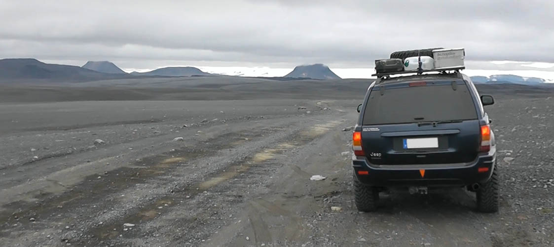
...sorry, no time for better photos from Iceland's highland - we are slightly in a hurry!
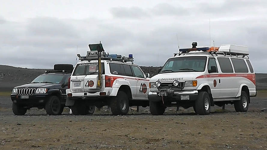
Björgunarsveit at Nýidalur
Björgunarsveit near Aldeyjarfoss

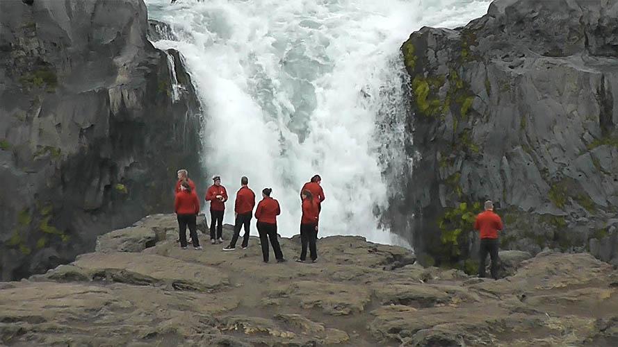
Björgunarsveit in front of Aldeyjarfoss (Norðurland eystra)
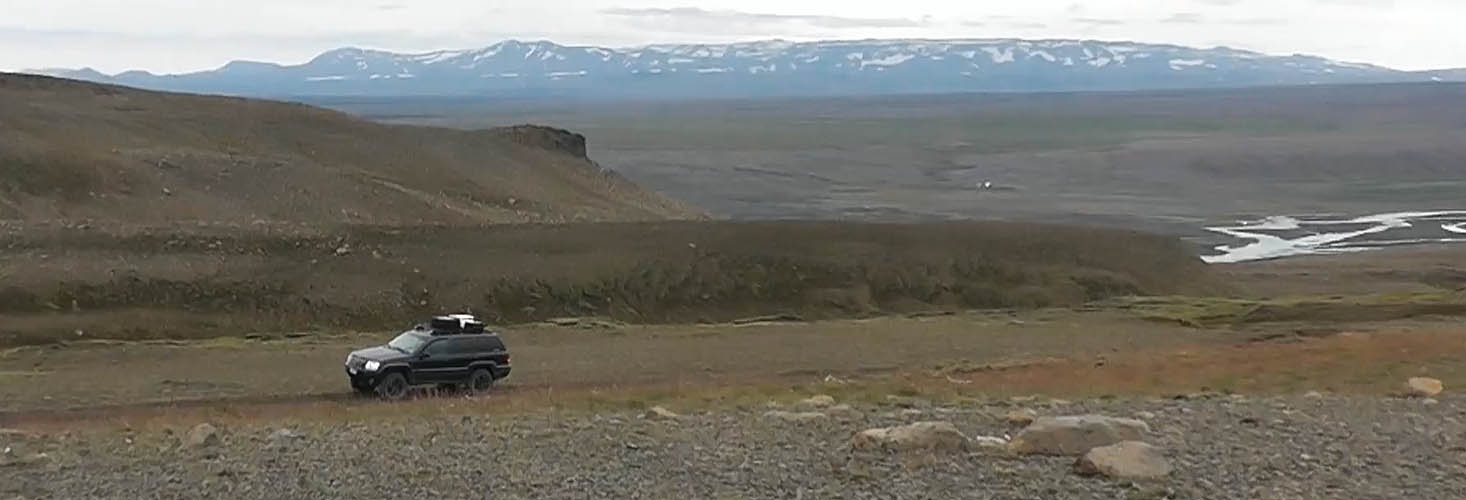
Sprengisandur near Aldeyjarfoss (Norðurland eystra)
Sprengisandsleið F26 (ends near Aldeyjarfoss / Norðurland eystra)
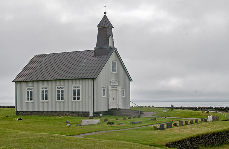
Strandarkirkja / Reykjanes - founded in 12th century / completed in 1888
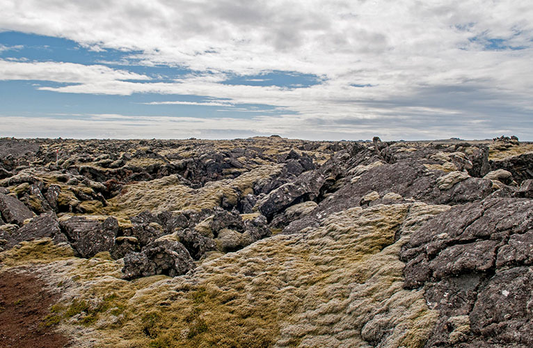
Reykjanes Hraun
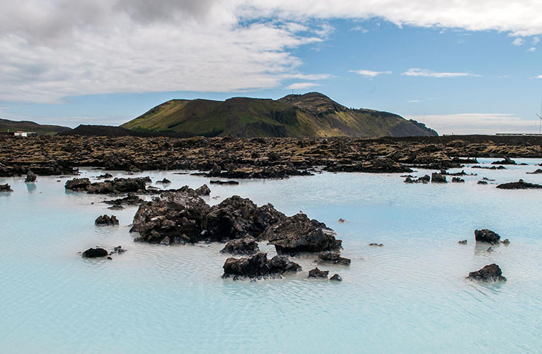
Bláa Lónið (Blue Lagoon) / Þorbjörn (243 m)
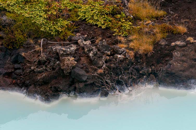
The water is naturally heated deep under the lava field "Illahraun"
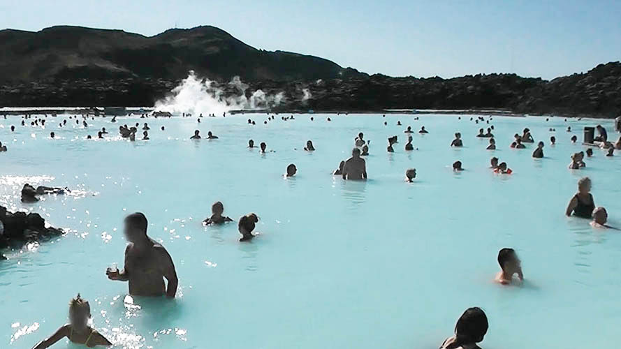
Visitors bath in 30% freshwater, 70% seawater, diatoms (rock algaes) and 2.5% salt
Reykjanesbraut
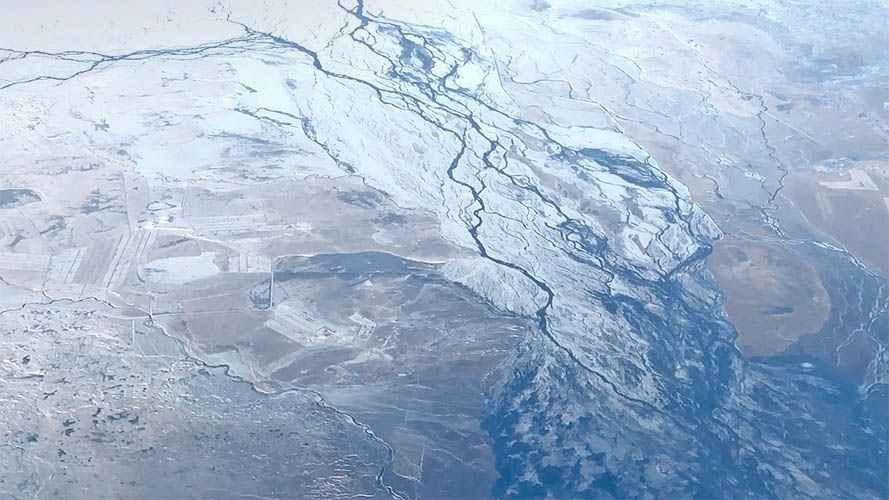
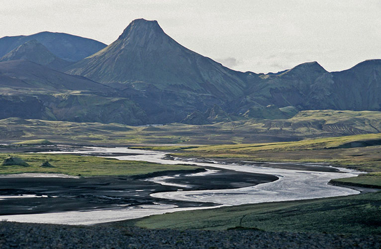
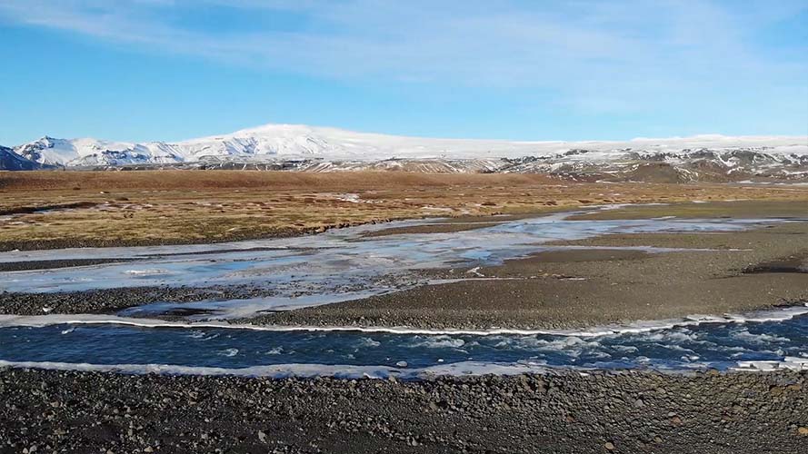
River bed between Vík í Mýrdal and Kirkjubæjarklaustur (aerial view)
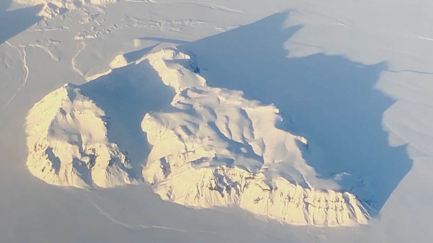
Hafursey mountain north-east of Vík í Mýrdal with typical long shadow in flat winter light (aerial view)
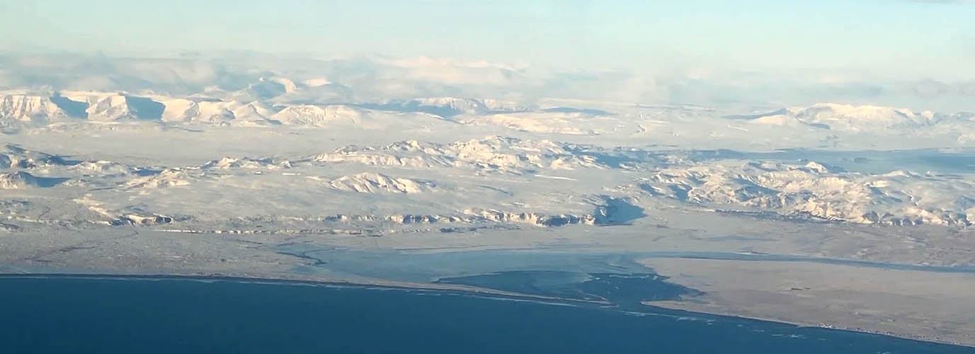
Ölfusá river delta with Eyrarbakki to the right during winter time (aerial view)
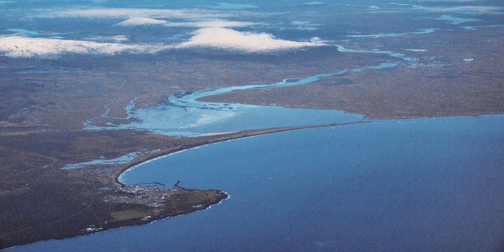
Þorlákshöfn (to the left) and Eyrarbakki (to the right) with Ölfusá river delta in late autumn (aerial view)